Existing land combat vehicles can only use drones to mark a certain coordinate, thereby measuring the distance to enemy forces in that area and displaying the distance and elevation difference between the mark and the vehicle. However, currently, a vehicle only has one drone per respawn, and if it is shot down, this operation cannot be completed. Land combat vehicles should be able to display marked points on the map and show the distance and elevation difference in the gun sight, thereby allowing some artillery to achieve indirect fire capability.
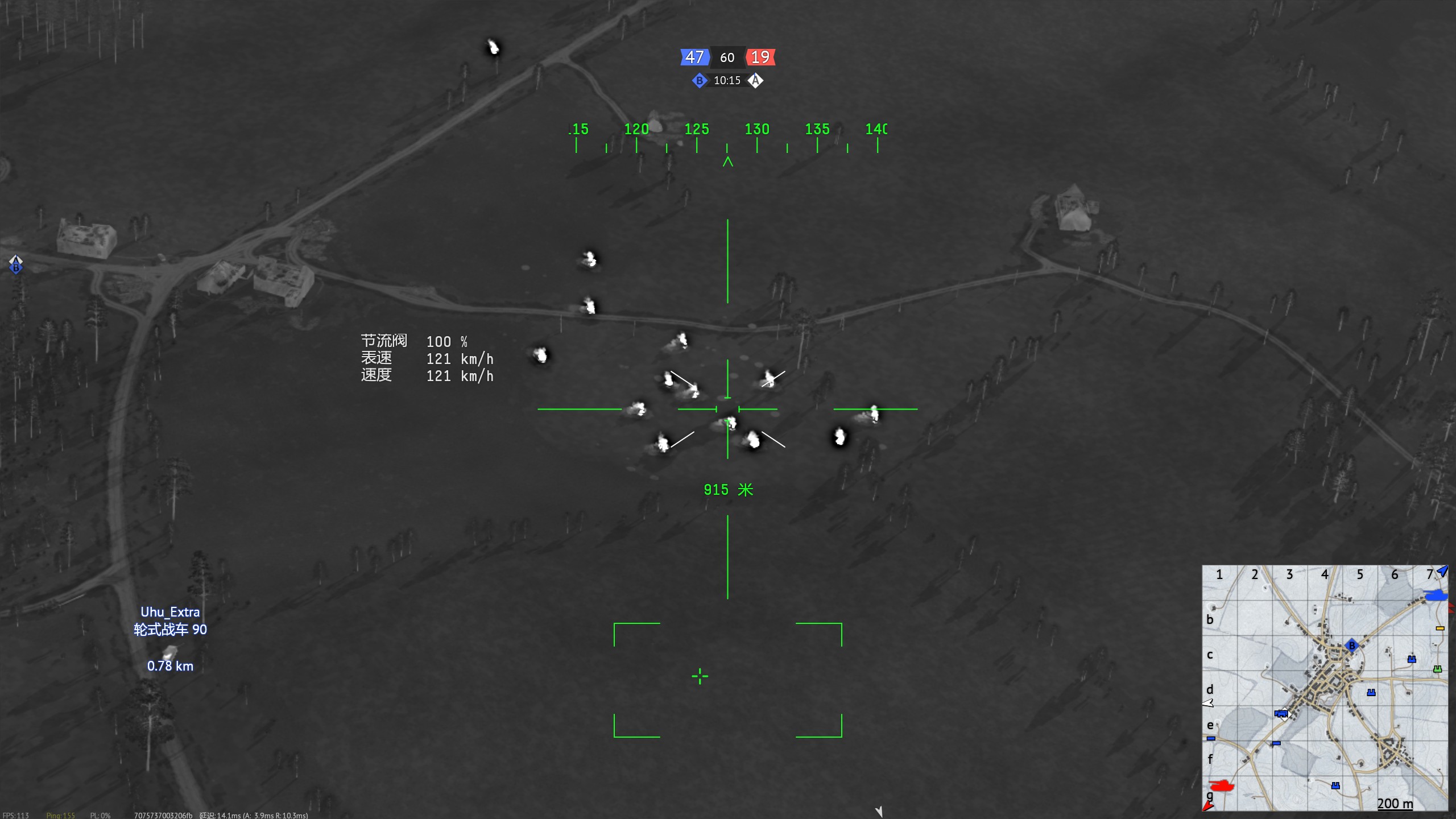
I think you are asking for recently implemented aiming points but for tanks. Aiming points currently display as 3d marker and tell exact range between plane and aiming point.
It could be implemented tho I can already predict complains coming from players because of oversimplification and the fact that it can hurt campers and aa - common immovable objects in wt universe.
Recon drones can be replenished on a capture point, if it was destroyed.