- Yes
- No
- Air Map
- Naval Map
- Bay of Pigs Operation Map
- Naval Size Air Map
- None
Hello! I would like to suggest the idea of an Air map based on the warm shores of Cuba!

Context
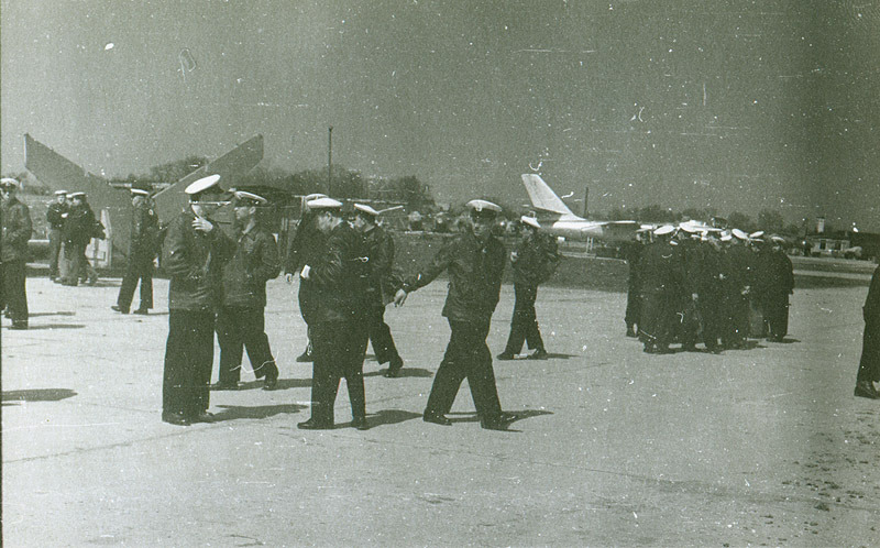
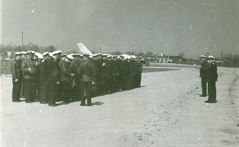
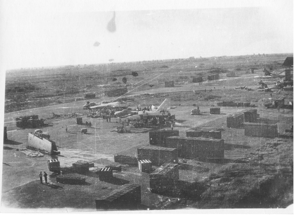
Cuba has played an important part to World History throughout the Cold War. After the 1959 Cuban Revolution, the country began a warm relationship with the Soviet Union right in, “America’s Backyard”, as it was often called. From that point onward, the Soviets had a rare opportunity of a frequent military presence close to the American mainland, causing mass tensions and a build up of Cuban military capability. Tensions rose enough for the US Government to support an attempt of invasion in 1960. It’s goal was to reinstall a friendlier government and was known as the Bay of Pigs Invasion, during which a heavy emphasis on Air Support was provided. A few years later, we have the infamous Cuban Missile Crisis, which had both Soviet/Cuban and American forces on high alert due to the blockades imposed by the US to prevent further installation of ICBM sites on Cuba. This of course, nearly sparked a WWIII and an intercontinental nuclear war. This also sparked drawing up plans of a US Invasion under the name of Operation Northwoods, but that was dismissed by then US President JFK. From 1962-1991, the Soviet’s maintained military presence in Cuba, which bolstered its defenses and was kept under careful watch by the US Navy in particular until the end of the Cold War.
Implementation
I think that Cuba could bring a nice, large, and tropical yet historical map to the lineup that consists of early Cold War jets, all the way up to more modern aircraft. It could also bring a variety of new mission/unit types to destroy and bring points in for players.
The largest version of the map is the one listed above, with Cuba, Florida, and the Bahamas all included. This would be ideal for about 9.0-13.0 BR’s.
The current size of the map area I have selected is currently around 650km x 650km (~400mi), totaling around 422,500km^2 (160,000mi^2). Massive map, I know, which is why I would heavily suggest that it be scaled down by half, which still makes it 325km x 325km(~200mi), or a quarter of the size, ~162km x 162km (~100mi), which still is massive considering even the current biggest maps are only 131km x 131km.
For lower BR’s, I would suggest a map based around the Bay of Pigs Invasion of the southern end of the center of Cuba, as seen in this image. It could be with airspawns for the attacking force and defending force, but the attackers would get carriers to rearm on. The defenders would have island airbases to land on to rearm. It would play out a lot like the Iwo Jima Operation we already have in game.
Concept of a “Bay of Pigs Invasion” map/operation

The size of this map in real life (1:1 scale) would be approximately 140km x 140km (87 miles x 87 miles) , making a total of 19,600 km^2 (~7,600mi^2). Of course, if this is supposed to be a smaller map (or at least part of a smaller map), it would have to be scaled differently, considering the Full Size Air Map planned would dwarf it still. As mentioned, most realistically, it would be either at least halved or a quarter of the size, which are 70km x 70km (4,900km^2) or 35km x 35km (1,225km^2), which is 43.5mi x 43.5mi (1,900mi^2) and ~22mi x 22mi (484mi^2)
There could also be a Naval Battles version of this map, and just between NAS Key West and Havana (including San Antonio de los Baños Airfield) would be approximately 230km across (~140mi). Of course you could use any part of the map for a naval engagement, but it could be an alternate for a full size Cuba map as well, while still maintaining a relatively more realistic scaling. Here are the maps when put all together by size.
All map areas together. Blue is the hypothetical Naval Map (although could easily work as an air map by itself), Yellow is the already mentioned “Bay of Pigs Invasion” Operation map, and White is the full size map area being suggested, depending on the implementation of course.

White = Full size Cuba Map (650km^2)
Yellow = Bay of Pigs Map (140km^2)
Blue = Hypothetical Naval Map (230km^2)
Important Locations
As seen by the first image, I think that to give a more historical and realistic aspect to the map, as well as to expand the terrain and uniqueness, I included some of the US state of Florida to the map. This gives one of the teams a chance to have its own protected area, to ensure visibility and a safe area to land and rearm their aircraft. For the airfields, there are two locations based on historical airbases that fit quite well.
The first is Homestead Air Reserve Base. This is to the Northern edge of the map, and provides a more secure location to rearm and repair, as we already have implemented in most Air RB matches, with a defenseless auxiliary airbase to land on closer to the frontlines. I also decided to have enough room to be able to pass and circle back to land, or to simply land facing the opposite way.
Basic History of Homestead AFB
Homestead Air Force Base, now called Homestead Air Reserve Base (Homestead ARB) is Miami-Dade County, in the state of Florida, within the southeastern United States of America. It it currently home of the 482nd FW of the 10th Air Force.
First, opened in 1942 during WWII, it was used as a training base for pilots of the C-46, C-54, and C-87 Transport Aircraft by Air Transport Command. After the war, in September 1945, and was deactivated in December of that year. It was then reactivated by Strategic Air Command in 1954, and was rebuilt. It was operated by the 379th BMW in 1955, using B-47E Stratojets and KC-97G’s.
319FiS at Homestead AFB - International F-104 Society International F-104 Society
By 1962, with the Cuban Missile Crisis forming, the 31st TWF was placed there from California, equipped with F-100 Super Sabres. After the Crisis and throughout the rest of the 1960’s, there were other units that were regularly stationed there due to the presence of the Soviet Air Force making stops in Cuba. These included the 516th FIS with F-104’s, the 125th FIG with the F-102, and the Florida Air Guard operated out of the base into the 1980s with F-4D’s, F-4C’s, and F-106’s, as well as F-16A’s by 1985.
F-16A of the 308th FS at Homestead AFB, 1988
In 1992, Hurricane Andrew had hit land and damaged the airbase severely, and stopped many of the aircraft from the base to return to their station, and the location as a whole was threatened to be shut down. This never came to fruition however.
Reference Images
Homestead ARB in 1962
2014 image of the airfield and some of the facilities still maintained after Hurricane Andrew in 1992.
Current Satellite Map of Homestead AFB (as of 2024)
The ‘auxiliary’ airbase for the team that spawns up north is located at the real-world location of Naval Air Station Key West. As it is slightly closer, yet part of the state of Florida and thus the ‘territory’ of the northern spawn/team, it is the obvious choice of the already mentioned (maybe not entirely defenseless note on that later) auxiliary airbase for one of the teams.
Basic History of NAS Key West
Naval Air Station Key West is an air base operated by the US Navy in Florida’s Boca Chica Keys. It is currently home to VFC-111 and VFA-106.
Key West has long been used by the US Navy, even as early as the 1820’s for anti-piracy operations. There were several developments by the US Navy in the area throughout 19th Century, and by 1898 the US Atlantic Fleet was stationed there due to the sinking of the Battleship Maine. During WWI, there was a submarine base and seaplane ramp constructed, with naval air training being conducted for 500 aviators. Between the World Wars, the base was deactivated until 1939, when it was reactivated. During WWII, it was under constant threat by German U-Boats, and had several construction and expansion efforts to expand. by 1945, the facilities and airfields in the area were all collectively bound to a singular base, as we know it now, NAS Key West.
After WWII, the base was kept activated for training purposes until the 1960’s, with Soviet cooperation and presence increasing with the newly formed socialistic Republic of Cuba, the USAF built up radar sites in the area, and the 671st Radar Squadron was stationed at Key West. By late 1962, during the Cuban Missile Crisis itself, several SAM batteries were also brought into the area, composed of MIM-23 Hawk’s and Nike Hercules sites. Key West became a point of contention during the crisis, with several recon flights taking off from its runways. During this time it was also coined as the ‘Gibraltar of the Gulf’.
After the Crisis had cooled, there was still a heavily presence of Air Force activity on the base, as well as US Naval Aviation operations, such as the famed VX-1 being stationed there since 1946. Throughout the Cold War, several air squadrons were permanently attached, including VF-171, VF-101, VFA-106, and several others visiting and being stationed there temporarily. As far as aircraft being stationed, almost every type that was operated by the US Navy has stayed at NAS Key West for some time. It continues to be operated by Naval Air Squadrons of the USN to this day.
Reference Images
Satellite image of NAS Key West and surrounding keys and islands
F-5N Tiger II of VFC-111 taking off from NAS Key West in 2020
Map of NAS Key West from the 1960s with MIM-23 Hawk Sites marked
The overall design of NAS Key West is quite unique and would be very neat if Gaijin implemented the multi-directional runways on it, seeing as aircraft on the runway do not have collision anyways. Of course, it would be fantastic to see them implement the rest of the area as a full base, kind of like we already have with some of the WWII era Pacific Maps and Hawaii. Also with the models of newer SAM sites and the like, those could make an appearance too!
Seeing as it is a Naval oriented map, I would like to include the addition of at least one Aircraft Carrier for both teams. Given the size of the map, they could move even closer to the front than the Auxiliary airfield, and provide at least some protection if you are skilled enough to make a proper landing on them.
As for the locations of the southern (Cuban) teams airfields, I chose a few locations that were operable at the time under the control of the Cuban Air Force.
Of course, Gaijin has the freedom to choose anyone of these bases, but I think that the ones that I chose are reasonable enough and give enough distance for aircraft to make adjustments and think of tactics to use. As well as in higher BR’s, to replicate a WWIII breaking out during the latter half of the Cold War, there is enough room for BVR warfare.
The main base for this team should be (in my opinion) should be in the location of Camaguey Air Base.
Even more basic history of Camaguey Air Base
Very little information of Camaguey exists on the internet, but what we do have is a couple of sources mentioning its use during the Cuban Missile Crisis by Soviet Air Force pilots, piloting their MiG’s and defending Cuban air space in case things went hot. The Soviet Air Force attaché to Camaguey started out with 50 pilots, all flying MiG-15’s, MiG-19’s, and MiG-21’s, although it is unsure how long they stayed for at each airbase, often rotating out and changing base locations/compositions. One of these Regiments sent to Cuba was the 32nd Guards Fighter Regiment, from 1961-1962.
Map of Camaguey Air Base
via Google Maps
The auxiliary airbase in this case is only slightly more interesting and has a bit more info, and as noted on the Northern Team, may not be actually used as a defenseless airbase. However, it will be talked about later. This airbase is Santa Clara Air Base.
Even more basic history of Santa Clara Air Base
As with Camaguey, there isn’t much info on the foundation of the airfield, but in biographies and Russian/Latin articles on the Cuban Missile Crisis, it was used several times, and very actively, being in the center of Cuba. Latin American Aviation Historical Soviet also mentions Cubans basing MiG-17AS’s out of Santa Clara Air Base, which we have in game. The already mentioned 32nd GIAP MiG-32’s were frequent operators of the base as well.
Map of Santa Clara Air Base
via Google Maps
Gaijin can at least chose these historical locations, but if they want to, there are plenty of other options within the map borders I have set that will work as well.
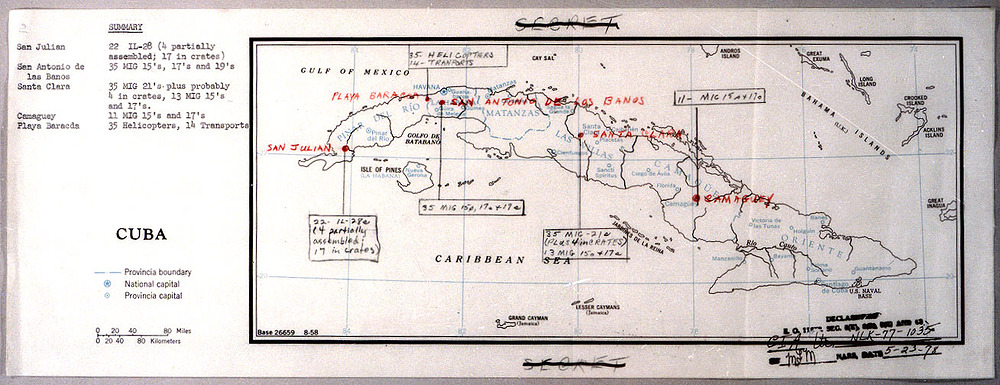
- San Antonio de los Baños Airfield (probably the most used/famous of the bunch)
- Cienfuegos Air Base
- Playa Baracoa Air Base
- Sancti Spiritus Air Base
Landmarks
Given the new terrain and unique environment not seen yet in War Thunder, there are several new areas that would be fantastic to see in the game as part of this map!
The Florida Everglades
- Shark Valley Observation Tower (built in 1964)
Havana, Cuba
- Castle of the Three Kings of Morro
- Plaza Vieja
- Cathedral of San Cristobal
- Hotel Nacional
- Capitalio Havana
The Bahamas
- Nassau
- Fort Charolette, Nassau
- Bahama Reefs
Miami, FL, US
- Freedom Tower
- Miami Beach
- Fontainebleau Hotel
- Miami International Airport
Key West, FL, US
- Key West Islands
- Overseas Highway
- Key West Lighthouse
- Sand Key Lighthouse
New Objective Types and Units
Given the Historical relevancy of the area, I think a new mission objective that would be interesting would be destroying ICBM sites and SAM sites once they are implemented as seen in datamines (specifically the MIM-23 Hawk and S-75 missile that are period relevant).
Also given the nature of a map that is mostly ocean, I think that more Cold War era AI units would be great to see, as well as some kind of implementation of the infamous blockade of Soviet supply ships, with the possibility of Submarines also being targets that are objective based or can also bring rewards.
New AI models also would be a great way to introduce new period relevant AI aircraft, such as early B-52s and Tu-95s, which have seen continuous use in the region by the USAF on their patrols and Soviet Air Force on their trips to Cuba.
The inclusion of Nassau of the Bahamas also gives the possibility of neutral airfield that can be fought over, captured, and used by each team if need be, kind of like how the Afghanistan Bagram Air Base is captured by AI units.
This also brings the argument for a Air RBEC map possibility. With updated and new units, and given the scale of the map Gaijin chooses to make, the inclusion of several of the mentioned airfields for OPFOR/Warsaw Pact teams (supporting the Cubans) and NATO teams on the northern half, using both of the mentioned airfields (and by extension, if needed, Miami International Airport) as well as additional Aircraft Carriers (Ark Royal and NEWER CV’s).
More History-Relevant Images and Maps
Cuban Missile Crisis-era Images
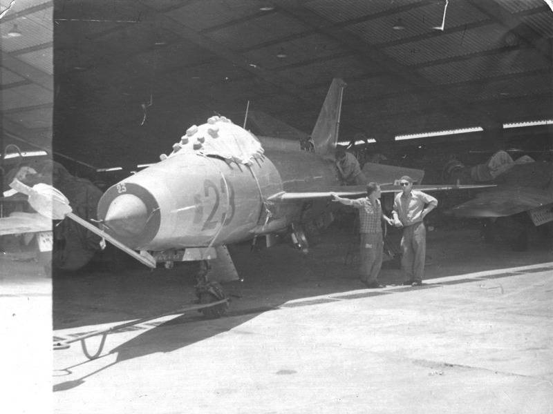
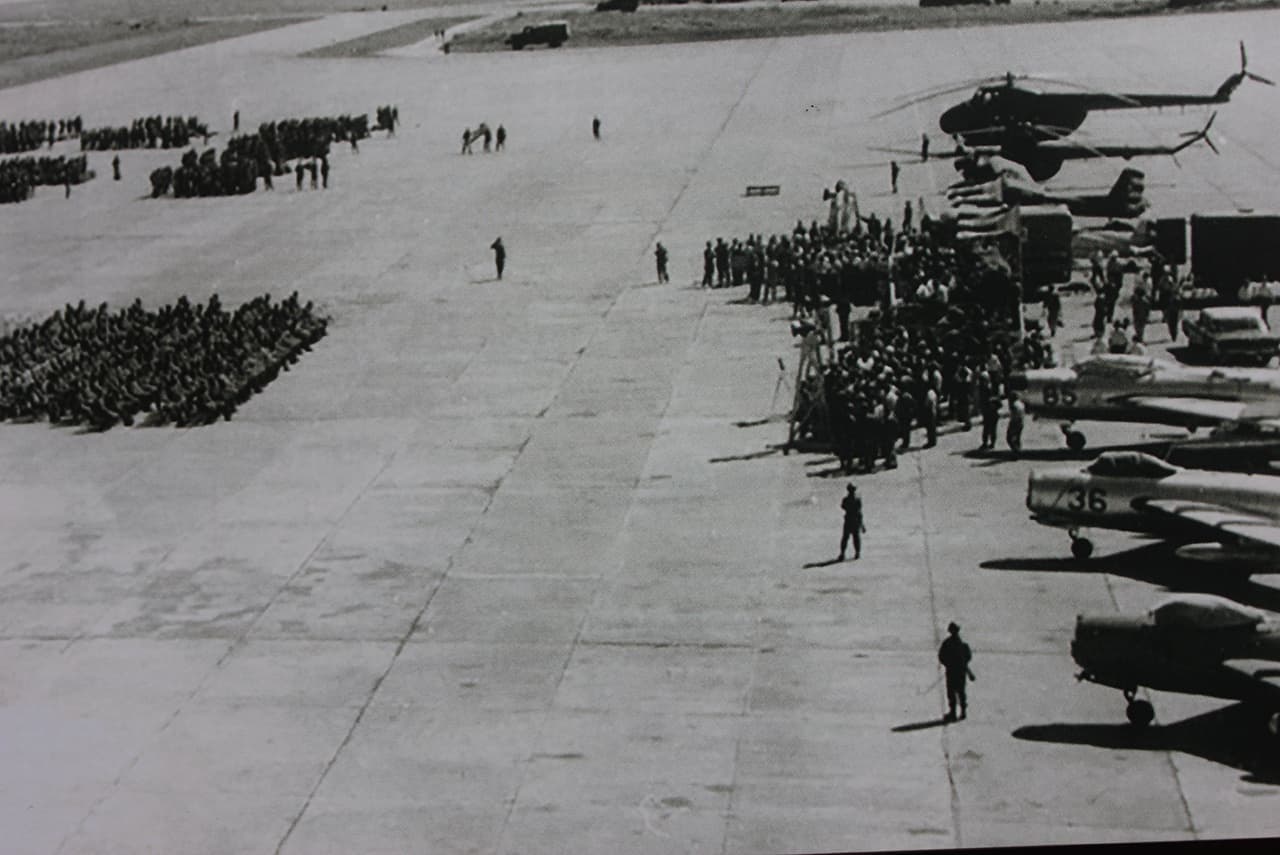
Soviet Ground Personnel moving a Cuban MiG-21F-13 into a parking spot after a flight.
CIA map of a U-2 photograph of a Soviet MRBM site in Cuba.
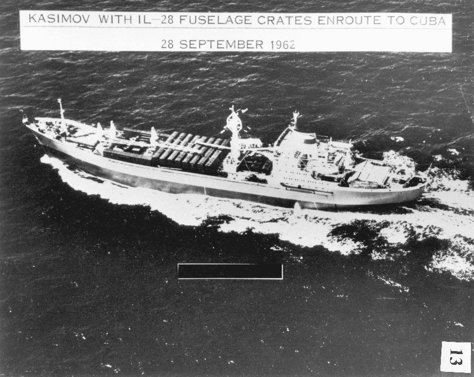
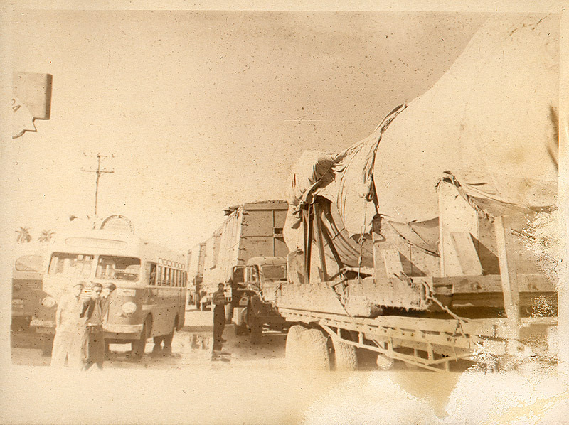
Soviet supply ships bringing in IRBMs into Cuban Ports.
US Navy P-3 Orion passing over Soviet Navy ships near Cuba.
Post-Cuban Missile Crisis Images
USAF F-106 of the 95th FIS intercepting a hijacked TWA airliner heading to Cuba.
USAF F-16A intercepting a Cuban Air Force MiG-21bis over the Caribbean Sea.
Sources:
Wikipedia - Homestead ARB
Wikipedia - NAS Key West
Wikimedia Commons
AuxiliaryMemory.com - Homestead ARB 1962
Google Images
The International F-104 Society - 316th FIS at Homestead AFB
airforce.ru - 32nd Guards Air Fighter Regiment in Cuba (1962 - 1963)
The Latin American Aviation Historical Society


